
Cartography
The BMC Route Database and the End of the Printed Guidebook
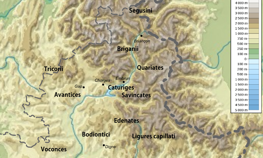
The British Mountaineering Council's online route system has grown to 140,000 routes. The printed guidebook is still being written. The two are arguing.
Cartography editor
Cora Quirke maps the Welsh hills for the Ordnance Survey on contract and edits the Cartography section of Mountain Ledger.
Beats
Cartography
The British Mountaineering Council's online route system has grown to 140,000 routes. The printed guidebook is still being written. The two are arguing.
Routes
An account of the northern section of the Kungsleden trail in Swedish Lapland, walked over five days in late May, with practical notes on water, snow, and hut etiquette.

Rescues
Tasmania Police Search and Rescue brought a bushwalker out of the upper Donaldson River catchment after a four-day search in temperate rainforest. The terrain made every method except long-line evacuation impractical.

Mountain Towns
Between the last spring climbers in Icicle Canyon and the arrival of summer tourists for the Bavarian-themed village, the small Cascade town of 2,200 has perhaps three quiet weeks. A report from Front Street and the canyon trailheads.
Huts & Refuges
The Charles Inglis Clark Memorial Hut sits in Coire Leis at 680 metres, almost directly under the Ben Nevis North Face. A century of climbing has passed through its door.
History
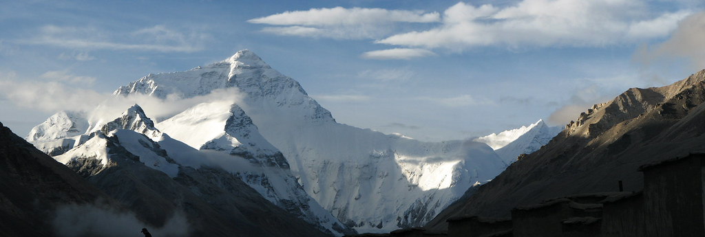
A reading of the Mallory family correspondence at Magdalene College, Cambridge, which holds the unresolved last chapter of the 1924 Everest expedition.
Cartography
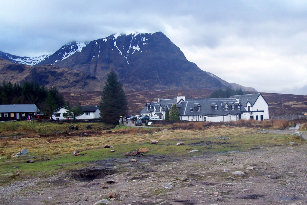
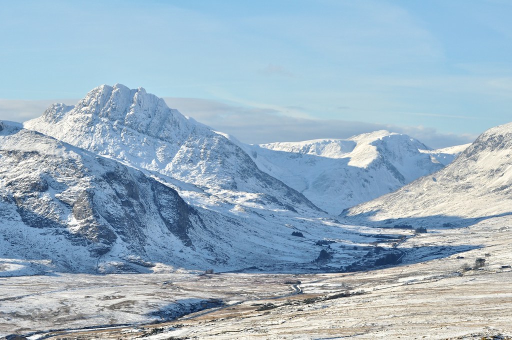
A week with two OS surveyors walking the contours of Eryri, where the country's oldest mapping agency still sends people on foot.
Guides
How the British Mountain Guides certify in conditions that have no analogue in the Alps.
Rescues
A January call-out for two underprepared scramblers on Tryfan's North Ridge ended at one in the morning with a four-stretcher lower down Heather Terrace. The team has done fifteen Tryfan jobs already this winter.
History
A forty-four-day approach, a tent at 5,400 metres, and the climb that effectively founded Canadian mountaineering as a national project.
Routes
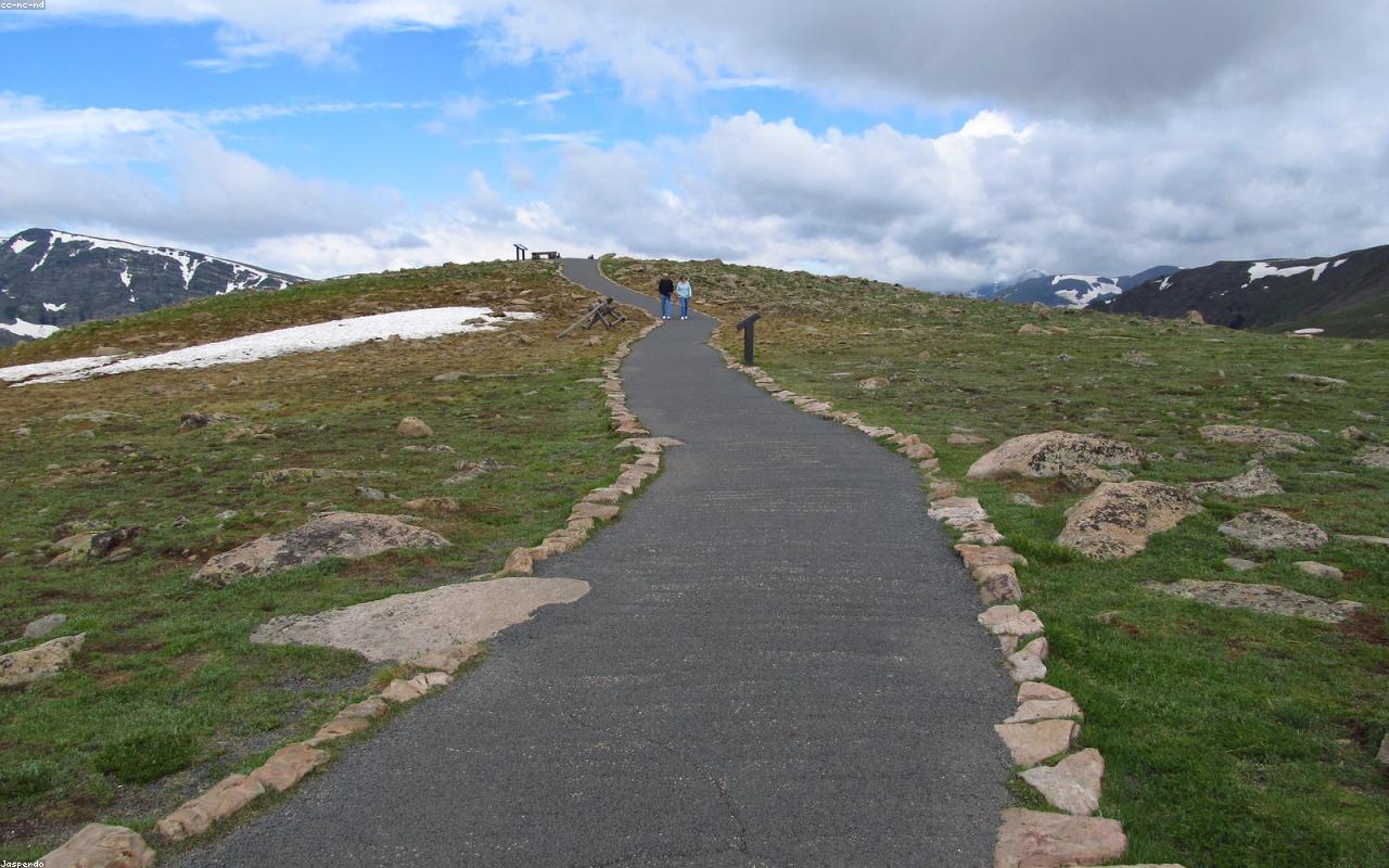
A careful account of the Crib Goch ridge in February conditions, written for hill walkers thinking about their first winter scramble.
Cartography
A morning at the Wabern offices, where the federal cartographers still argue about the weight of a single 20-metre line.