
Cartography
The BMC Route Database and the End of the Printed Guidebook
The British Mountaineering Council's online route system has grown to 140,000 routes. The printed guidebook is still being written. The two are arguing.
Section
Swisstopo's contour line, the first guidebook to the Tetons, the route descriptions in Steck and Roper, the cartographers still walking the hills.
Cartography
The British Mountaineering Council's online route system has grown to 140,000 routes. The printed guidebook is still being written. The two are arguing.

Cartography
Many alpine guides keep their own private maps. A morning with one of them, in a small flat above the Rue Whymper.

Cartography
How the Norwegian Mapping Authority is re-drawing the contour lines of the country's roof, one ridge at a time.
Cartography
Inside the Istituto Geografico Militare's Aosta Valley project, where a 1934 mapping convention is being slowly reconciled with modern lidar.
Cartography
A week with two OS surveyors walking the contours of Eryri, where the country's oldest mapping agency still sends people on foot.
Cartography
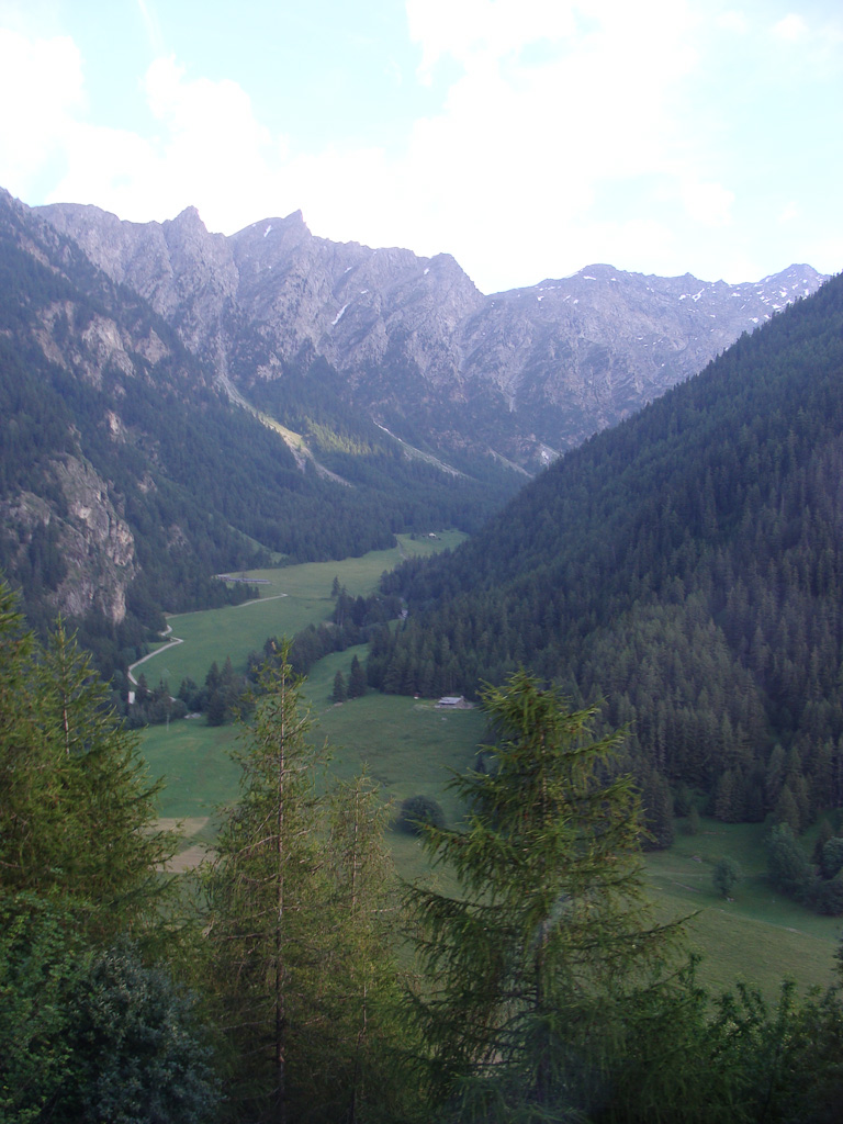
A summer of testing the 1973 guidebook's route descriptions against the granite they describe, with notes on what holds and what has weathered.
Cartography
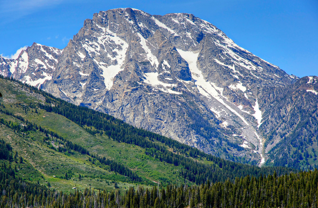
How a Stanford mathematician compiled the route descriptions that have shaped six decades of climbing in Grand Teton National Park.
Cartography
A morning at the Wabern offices, where the federal cartographers still argue about the weight of a single 20-metre line.