In the climbing library of the American Alpine Club in Golden, Colorado, there is a shelf devoted to a single author. The books are eight, the editions twenty-three, and they cover one mountain range.
The author is Leigh N. Ortenburger. The range is the Tetons. The first edition of A Climber's Guide to the Teton Range was published in 1956, when Ortenburger was twenty-six years old and a graduate student in mathematics at Stanford.
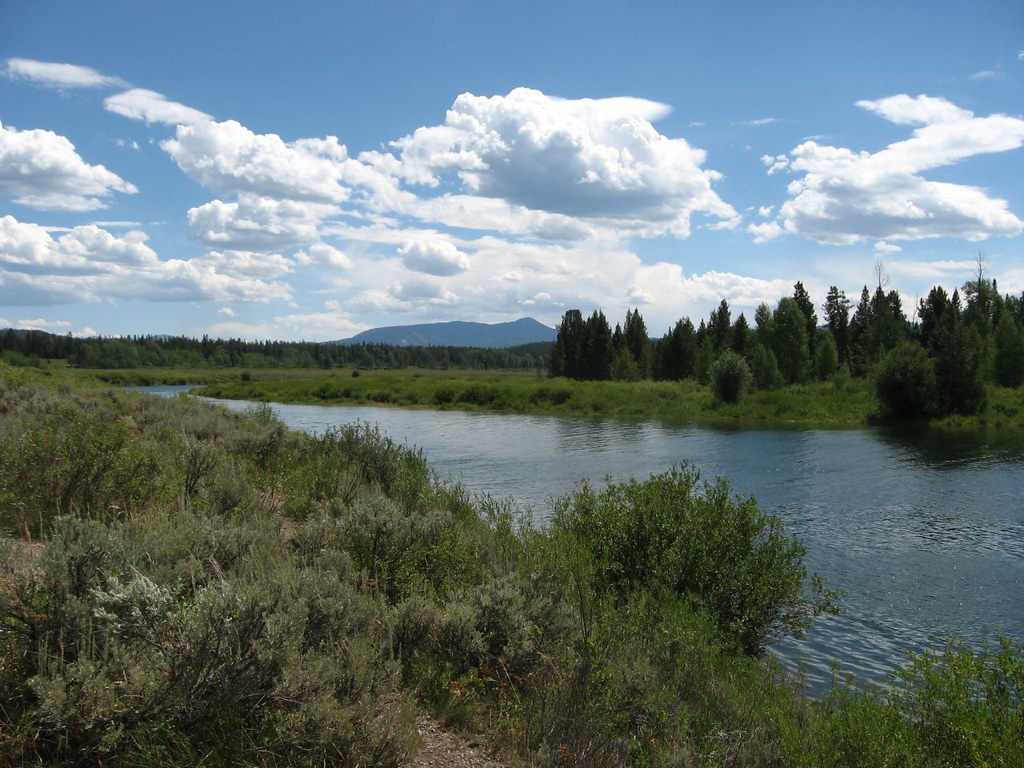
He had begun climbing in the range in 1948. By the time the first guidebook went to press, he had personal knowledge of nearly every named summit. The 1956 edition described 220 routes.
The 1996 edition, the last to bear his name as principal author, described 803.
The book is not, strictly, a map. It contains maps, drawn by Bob Irvine and later by Renny Jackson, but its principal medium is prose. A Teton route description by Ortenburger is a small set of paragraphs, terse, geological, and impatient with adjective.
A typical entry runs: From the col, traverse left on broken ledges for 30 m to a small alcove. Climb the obvious crack system (5.6) for two pitches to a sloping ledge. The summit ridge is gained by a short chimney on the right.
There are no superlatives. There are no warnings about exposure. The reader is presumed to know what 5.6 means and what a sloping ledge will feel like under boots.
This compression is the book's discipline. Ortenburger, who corresponded for decades with the British guidebook tradition, particularly Harold Drasdo and the Climbers' Club, had absorbed an idea: that a route description is a contract with the climber, not a description for the armchair reader.
Renny Jackson, who succeeded Ortenburger as co-author of the 1996 edition and is now responsible for the current revision, met him for the first time in 1981. Jackson was then a climbing ranger in Grand Teton National Park. He has held some park role almost continuously since.
"Leigh had a notebook," Jackson said, in a conversation at the park headquarters in Moose, Wyoming, on May 11. "He carried it always. The notebook had the route description for the climb he was about to do, and a column for corrections."
The corrections were the heart of the project. After every climb, Ortenburger compared his prior description to the experience of the day and amended it. He cross-checked against other parties' reports, often by letter.
The Stanford mathematician's instinct for precision was, by the testimony of his collaborators, the book's discipline. He treated each route as a theorem and each climb as a verification.
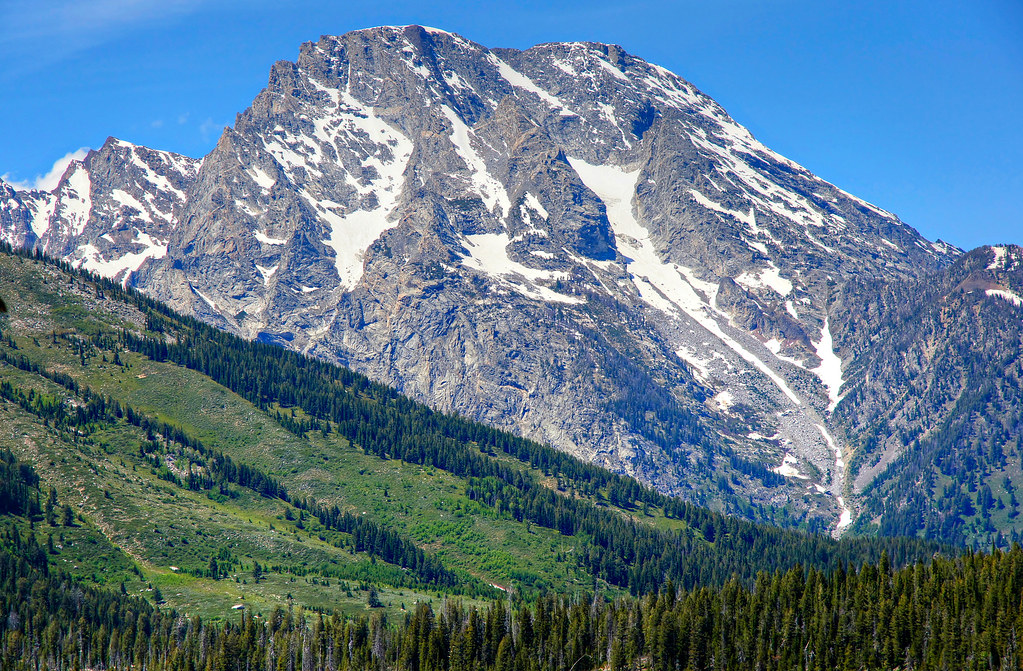
He was also a working climber. In the summer of 1962 he made the first ascent of the North Face Direct of the Grand Teton with Pete Sinclair. The route is graded V 5.8 A2. The 1965 edition's description of it is four sentences long.
Ortenburger died in October 1991, in a helicopter accident while researching routes in the Cordillera Blanca of Peru. He was sixty-two. The 1996 edition, which Jackson and others completed, includes a one-page dedication and no further sentimentality.
In the AAC library on April 22, the curator Katie Sauter took down the 1956 edition. The book is small, octavo, bound in green cloth. The text block has yellowed at the edges. The price printed on the dust jacket is $3.50.
Inside the front cover is an inscription in pencil: To Jack Durrance, with thanks for the corrections. L.N.O., March 1957. Durrance was the climber who, in 1939, made the first complete ascent of Devils Tower. He had climbed extensively in the Tetons in the 1930s.
The corrections to which Ortenburger refers are still in the AAC archive, in a folder of letters. Durrance had read the proof and returned eighteen pages of marginalia.
The 1996 edition runs to 480 pages. It describes routes on 38 named peaks and innumerable subsidiary summits. It is illustrated with line drawings by Jackson and photographic plates by Andy Carson. It is still in print, from the American Alpine Club Press.
Jackson is at work on a new edition, the first in thirty years. He expects it to run to 600 pages. He is using a database, maintained on a laptop in his cabin in Wilson, Wyoming, that contains 1,124 routes.
He still carries a notebook on every climb. He still writes corrections in pencil. He said, of the inheritance: "Leigh built a structure that does not require improvement. It only requires attendance."
The shelf in Golden holds the attendance. Eight books, twenty-three editions, one range. The climbers who use them rarely think of the mathematician who built the discipline. The book in the rucksack is the map.